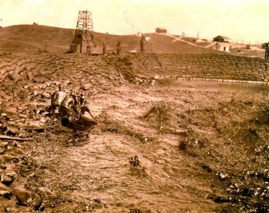
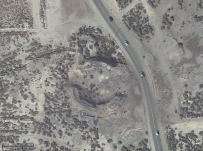
In order to contain the oil blowing from the well, levees of sandbags were built around it. Those levees are clearly evident in this aerial photograph, taken a century after the well blew out.
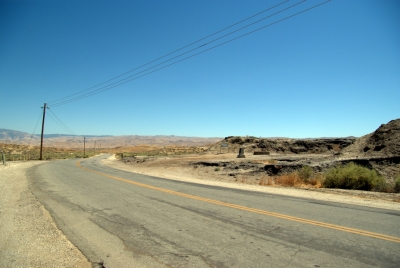
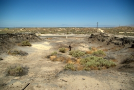
One of the main worries, was that the torrents of oil flowing from the well would reach and contaminate Buena Vista Lake, some three miles away. The lake is on the horizon in this view, looking east across the blowout site and over the top of the historical monument. The pipe in the foreground marks where a second well was drilled, hoping to find some oil from the Lakeview that was left behind. However, it was not to be, and the second well was plugged.
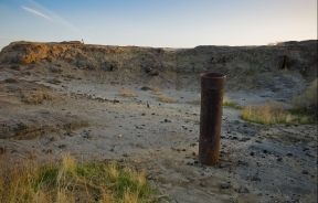
Encrusted oil is evident here on the tops of the levees, as well as all around the perimeter of the site. Although it has now been filled in with dirt, the center of the crater was once a gaping pit.
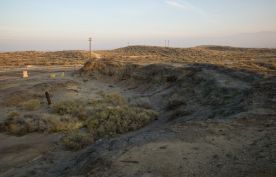
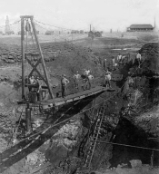
Once there was a bridge suspended across the pit of the crater. Today the supports for that bridge are still evident on the south wall of the levee.
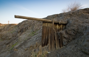
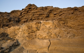
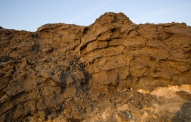
There is an interesting stratigraphy shown below on the inner walls of the levees.
- Sandbags cap the levee walls. Outlines of the bags are clearly visible in the photos below. Beneath these sandbags can be seen oil-soaked sandstones that the gusher brought up out of the ground with the flow of oil.
- Trough cross-stratified sandstones in the middle of the levee walls were deposited by churning waves generated by the force of the flowing oil.
- Oil-soaked, laminated sandstones at the base of the levee walls were deposited in the oil lake that formed when the gusher first began to flow.
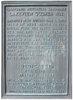
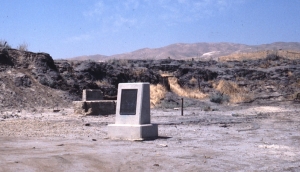
Today there is a historical marker at the site.
